After
several cold rainy days we have nice weather again so we are headed back to
Zion National Park for some more up close viewing of the sights we saw there
last week. Once you get inside park territory
the roads blend right in with the surroundings.
They are made from the same red (from the iron content) rock that you
see in the mountains throughout the park.
The weather
today got up to 80 and was a perfect day to be out on a motorcycle. This map shows the road we were on as we
entered the park, Zion-Mount Carmel Highway is a series of twists, turns and
switchbacks (see that squiggly area right before the Zion Canyon Scenic Drive)
that lead down into the canyon.
The view
going in is still great. Today I didn’t
take as many pictures going into the park, just enjoyed the view.
We were able
to snag a parking spot at the museum so we could catch the shuttle to the Zion
Canyon Scenic Drive. From April through
November personal vehicles aren’t allowed on this road. These parking spots are at a premium so going
mid-week before the busy season starts in a couple of weeks paid off.
The views
from the museum are spectacular.
However, the number of tourists here this morning with selfie sticks was
unreal. Why would you want a picture of
yourself in every single picture you take?
Then they had to have friends take more pictures of them posing – I just
wanted a big stick so I could get to where I could take the one picture I
wanted. This area is called the Towers
of the Virgins. The flat-topped mountain
to the left is the West Temple, to the right of it is Sundial and the smaller
flat-topped mountain to the right is Alter of Sacrifice.

We caught a
nearly empty shuttle to the Visitor’s Center for a quick tour there. This huge building is cooled and heated
without the help of fossil fuels or heating units. The two towers are cooling towers. Dry desert air blows across water soaked
baffles on top of the towers. Cooled and
humidified air sinks down the shaft and into the surrounding areas of the
building. The stone of southern facing
wall is a passive solar “trombe” wall that collects and releases heat in the
winter.
Scenes from
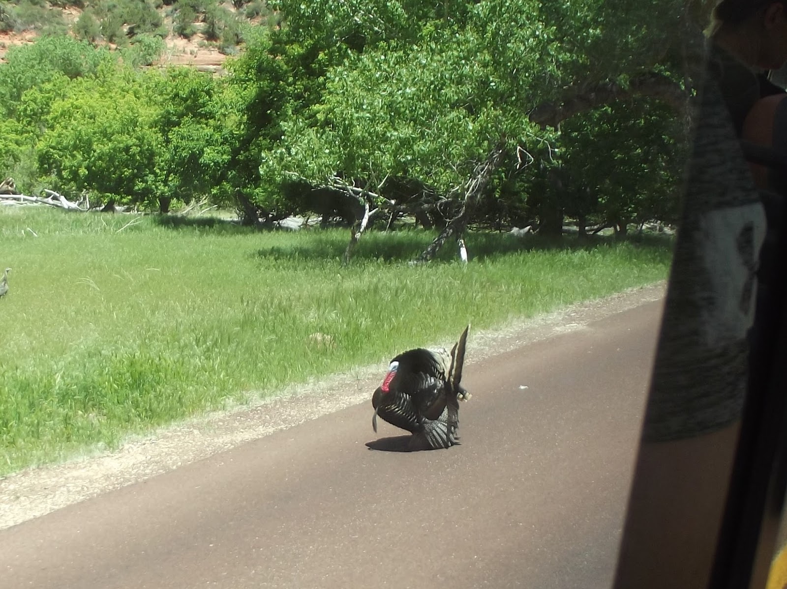
our Zion Canyon Scenic Drive. Our drive was interrupted briefly by this guy staking his territory.
This one is
called Court of the Patriarchs. Many of
these mountains have names, however, I remember them about as well as I
remember names of people (not good). I
need a camera that has a “note” function on it so I can type in a memo about
what I just took a picture of.
We rode the
shuttle to the Temple of Sinawava where we planned to get off and hike. There is a choice of two trails that leave
the Temple of Sinawava area. The
Riverwalk is an “easy” 2.2 mile hike that follows the Virgin River along the
bottom of a narrow canyon. The second
choice is the Narrows, a “strenuous” 9.4 mile hike that is entirely in the cold
waters of the Virgin River. The choice
was made for us – the Narrows was closed so we had to take the easier one.
The trail is
wide and completely paved. It is
wheelchair accessible, with some help needed in a few areas.
The scenery
is once again just breathtaking.
Pictures simply don’t do justice to the magnificent views of this park.
Note the
waterfall in the center of the picture.
This cool
rest area was a welcome sight.
There is a
person climbing this mountain about 2/3 of the way up. They looked like a little speck and I can’t
begin to find them in this picture.
On the way
back to the museum we got off a stop early and hiked another mile or so on the
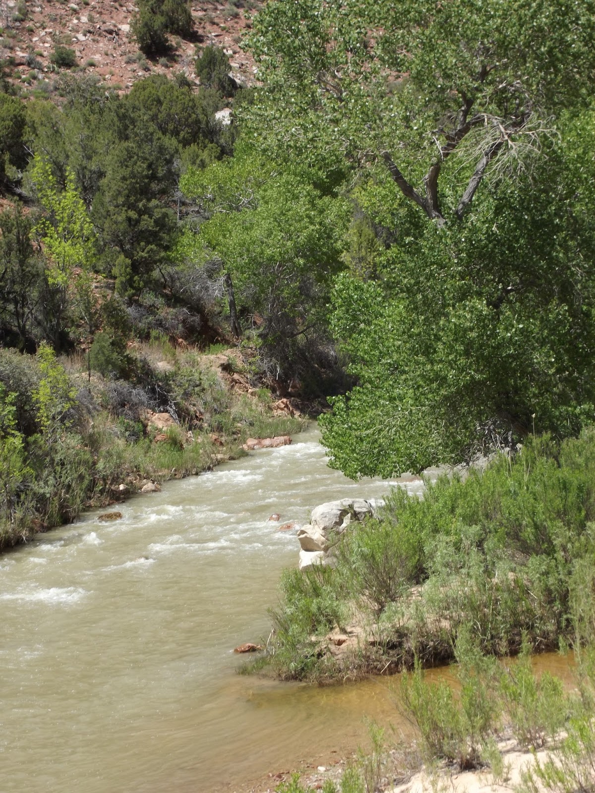
Pa’rus Trail along the Virgin River.
The brochure
says this trail leads back to the museum.
It does eventually, but the last part of it going back to the museum is
a narrow dirt path with some steep steps.
I didn’t risk trying to take pictures of that last part, I was too busy
trying to stay upright.
We met very
few people on the Pa’rus Trail so we could walk and enjoy the peace and quiet
of some more beautiful scenery.
The
wildflowers are popping up all over.
Wildlife
pictures today were few. The squirrels
are all over and seem to have no fear of all the people around.
We stopped
for dinner at the Thunderbird restaurant at the intersection of State Road 9
and US89.

The camera
batteries were shot by this time and I was hungry so I didn’t get any interior
pictures. There is a restaurant, bar and
gift shop, all very well maintained and well stocked. The food was great. We took home some of their strawberry/rhubarb
pie (that was a diet cheat that was worth it!!). The restaurant is known for their “Ho-Made
Pies”. The sign advertising their pies
was put up by the original owner back in 1931 when because of the war lumber
was scarce. He managed to put together
some miscellaneous pieces of wood but all he could fit on the sign when he was
done was “ho-made” instead of “home made”.
Thinking that fit right in with the “folksy” atmosphere of the
restaurant he decided that would work.
And it did until recent years when the wording got a bit controversial. The children and grandchildren of the
original owner who run the restaurant now decided to stick with their heritage
and left the sign as grandpa made it.