What an
exciting day!!! We left at 8:30 this
morning to get into Page to meet our Navajo tour guide for a tour of the
Antelope slot canyon. From downtown Page
it was a 20 minute ride to the canyon site.
About half of that trip was on hard packed sand that was like a
washboard (really bumpy for you younger folks).
I got a
couple of shots of the scenery on the way out, but most of the time I was
hanging onto the rail.
This is the
entrance to the canyon. It was discovered
in 1930 by a 13 year old girl who lost her flock of sheep and followed their hoof
prints into the canyon. This is called a
“slot” canyon. The wind and water has eroded
a narrow slot in the sandstone with beautiful results. This tour was $40 per person and well worth
the price. I am so happy we took this
tour. If you decide to take this tour
you might want to consider bringing a scarf or handkerchief to cover your mouth
and nose, it gets pretty dusty in some spots from the fine sand that is
covering the floor. If it is a windy day
our tour guide said sand can fall down from above.
The colors
of the sandstone are amazing. I was
wishing that I knew more about my camera settings to adjust it to lower light,
I had to put it on automatic focus (idiot setting). The pictures I took at the beginning of the
tour where there is more light are pretty good.
This area is
subject to flash flooding during the June to September timeframe. Our guide said that about every other year
the floods come through. This branch was
brought in by floodwaters and lodged in the walls at some point.
It’s kind of
hard to see because I was photographing against the light coming in from above
but there is a cedar tree lodged about 30 feet overhead that was also brought
in by flood waters. The closest cedar
trees grow 10-15 miles away. That gives
some idea of the strength and depth of the flood waters. At this point my claustrophobia is starting
to try to take over and I’m wondering how much notice we might get in order to
evacuate if a flood happens. Then I
remember the weather is beautiful, no need to worry – and repeat again.
A little
past midway we learned why the tour guide had everyone with big backpacks lock
them in the truck and not bring them with them.
The canyon really narrows and at times our tour group going in was
passing another one going out.
This is the
far end of the Upper Antelope Canyon.
This tour is a ¼ mile walk each way but it is on mostly level ground
with a slight elevation. The biggest
obstacle is watching you don’t bump your head on the rocks that stick out when
the canyon narrows. There is another
tour that goes to Lower Antelope Canyon which involves going up and down
ladders attached to steep sandstone inclines – that isn’t on the bucket list.
Wildlife
shot of the day. Several of these little
lizards met us at the exit.
This is the
flood zone just outside the exit. This
is where water sweeps down and enters the canyon. That might be kind of neat to see as long as
you were sitting up on a really high rock.
We stopped
for lunch at Big John’s Texas Bar-B-Q in Page.
Lunch was really good just not very photogenic.
After lunch
we headed south of town to the Horseshoe Bend scenic overlook. I was paying so much attention to Rule #1
about no railing and a 1,000 foot drop that I didn’t pay enough attention to
Rule #3, watch your step. About halfway
up the first ¼ mile hill climb I took a tumble and skinned my knee – no big
deal just made me feel clumsy.
Most of the
walk is sand.
Then it gets
a little rougher. It was in between the
sand and this that I fell. Some sand was
covering some rough area I didn’t see, one foot twisted a bit and down I went.
The walk to
the overlook is supposed to be an easy 1.5 miles round trip. They forgot to mention that most of it was
walking up a very steep sand dune. We
both agreed that last year we wouldn’t have been able to accomplish it. We definitely got some cardio exercise in
today but we made it and don’t feel too bad after the fact. This is the short walk up.
Spotted a
plant I hadn’t seen before. Need to get
a reference book so I can find out what these new plants are. Greg calls them weeds, I’m sure that isn’t
right.
That hole in
the ground is where we are going. See
how tiny the people are? This is going
to be the long walk up when we are returning to the parking lot.
This view is
what we came for – amazing. The river is
down considerably and running slow right now, but still very beautiful. At this point the Colorado River makes a 270
degree turn.
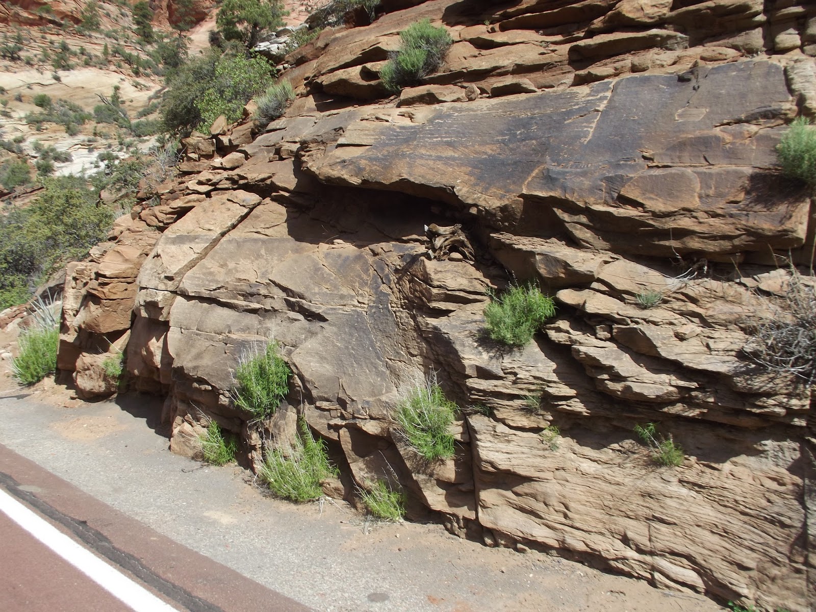
Some plants
will grow anywhere! All of this rock is
Navajo sandstone. This is part of the
largest sandstone layer in the United States.
It is composed of sand dunes from theJurassic Age and stretches from
Northern Arizona to Wyoming.
We had to
take a short break as we were walking back up so I turned around to take some
pictures. The darker rocks in the middle
look totally out of place. We speculated
that they might be fossilized dinosaur poop – that’s probably not right either.
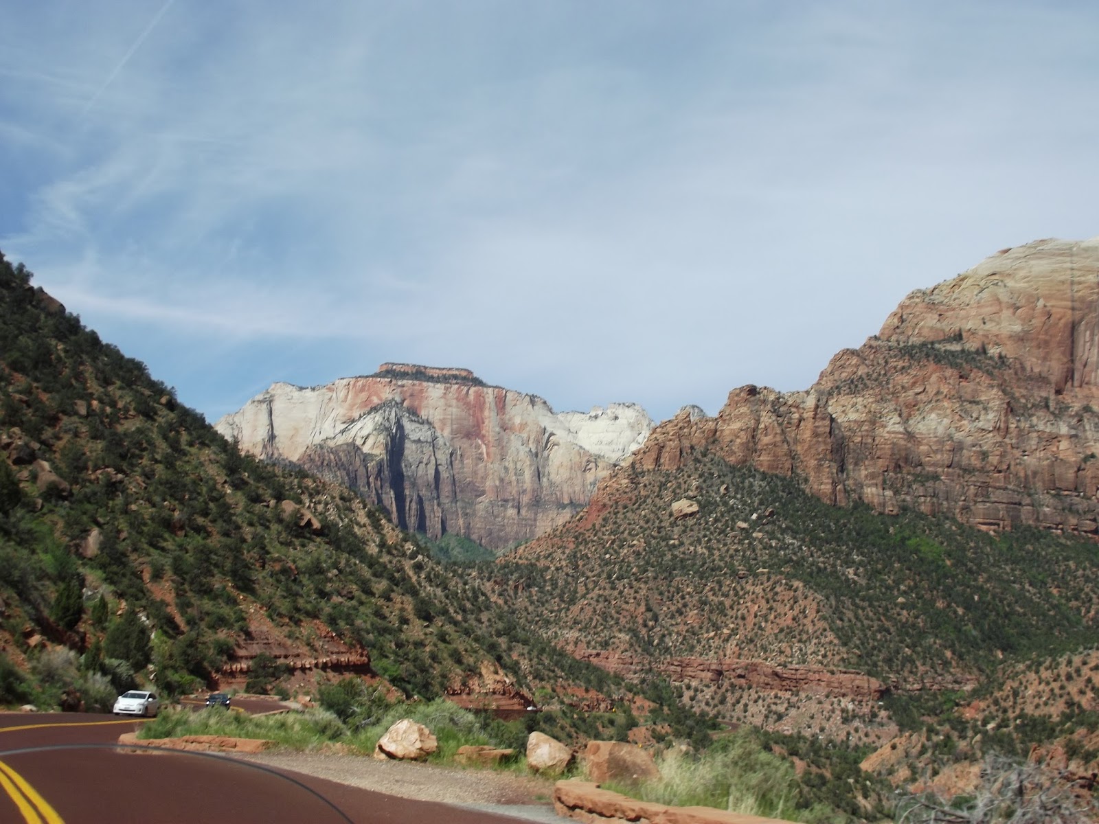
We will be
leaving Wahweap Campground tomorrow morning to travel a couple of hours to
Bauer’s Canyon Ranch in Glendale, Utah where we will be for a week while we
tour Zion and Bryce Canyon national parks.